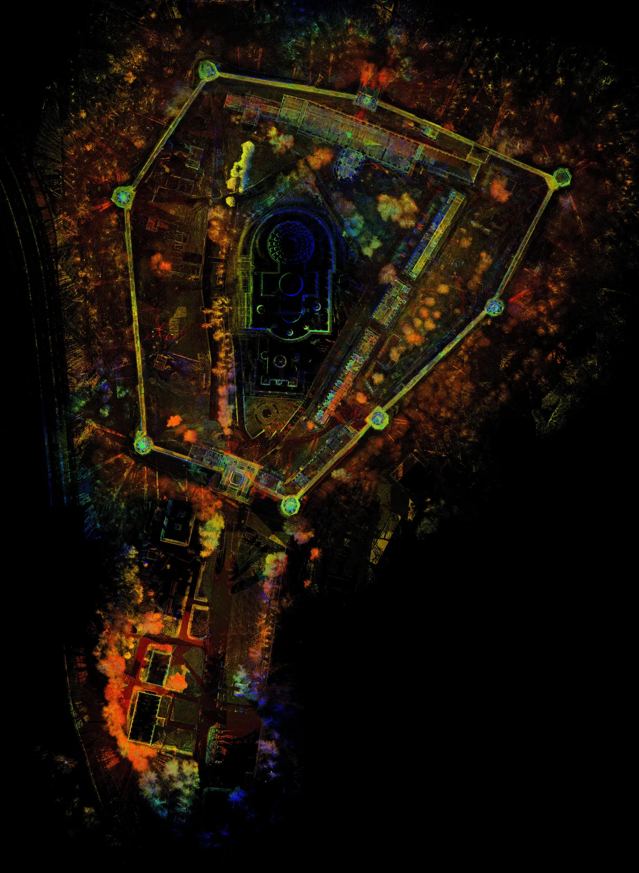
Demonstration point cloud
Verifiable precision and traceable data: using 3D laser scanning, drones, and GNSS, Geomar Srl delivers accurate surveys ready for BIM.
Contact us01 — About us
About Geomar
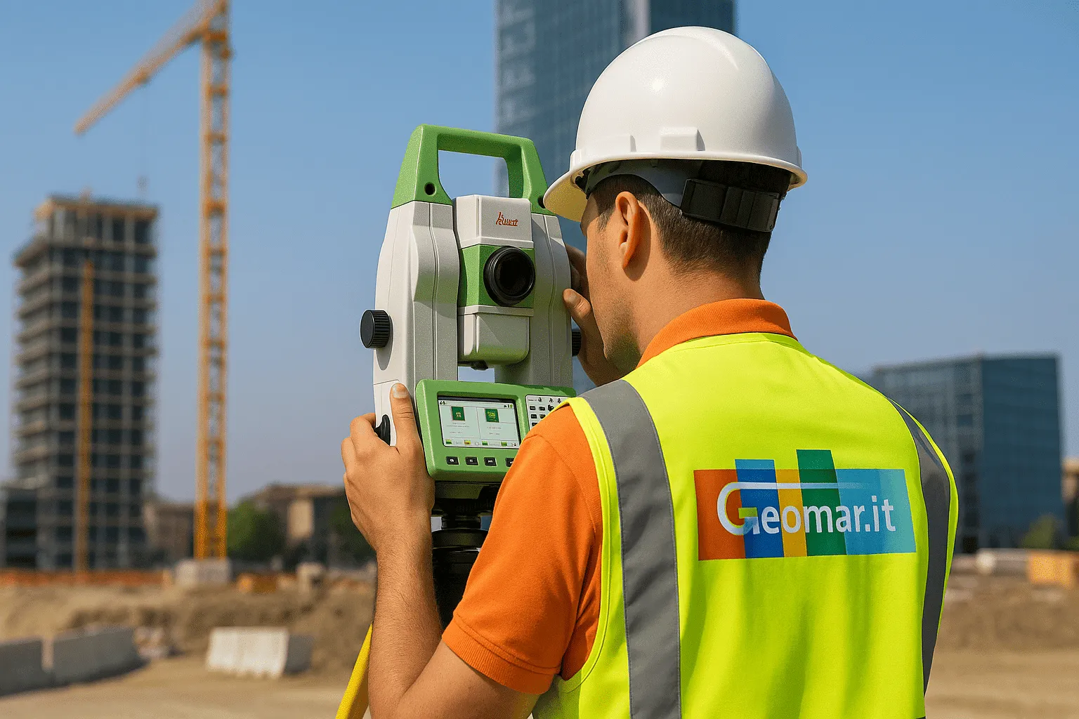
Founded in 2001 by three surveying professionals, Geomar.it applies advanced technologies to architecture and topography. For over twenty years, we have invested in reliable instruments and traceable procedures to deliver accurate and timely results.
- 2001
- Year founded
- 3
- Founders
- 3
- Offices
02 — Architecture
ArchitecturalSurveys
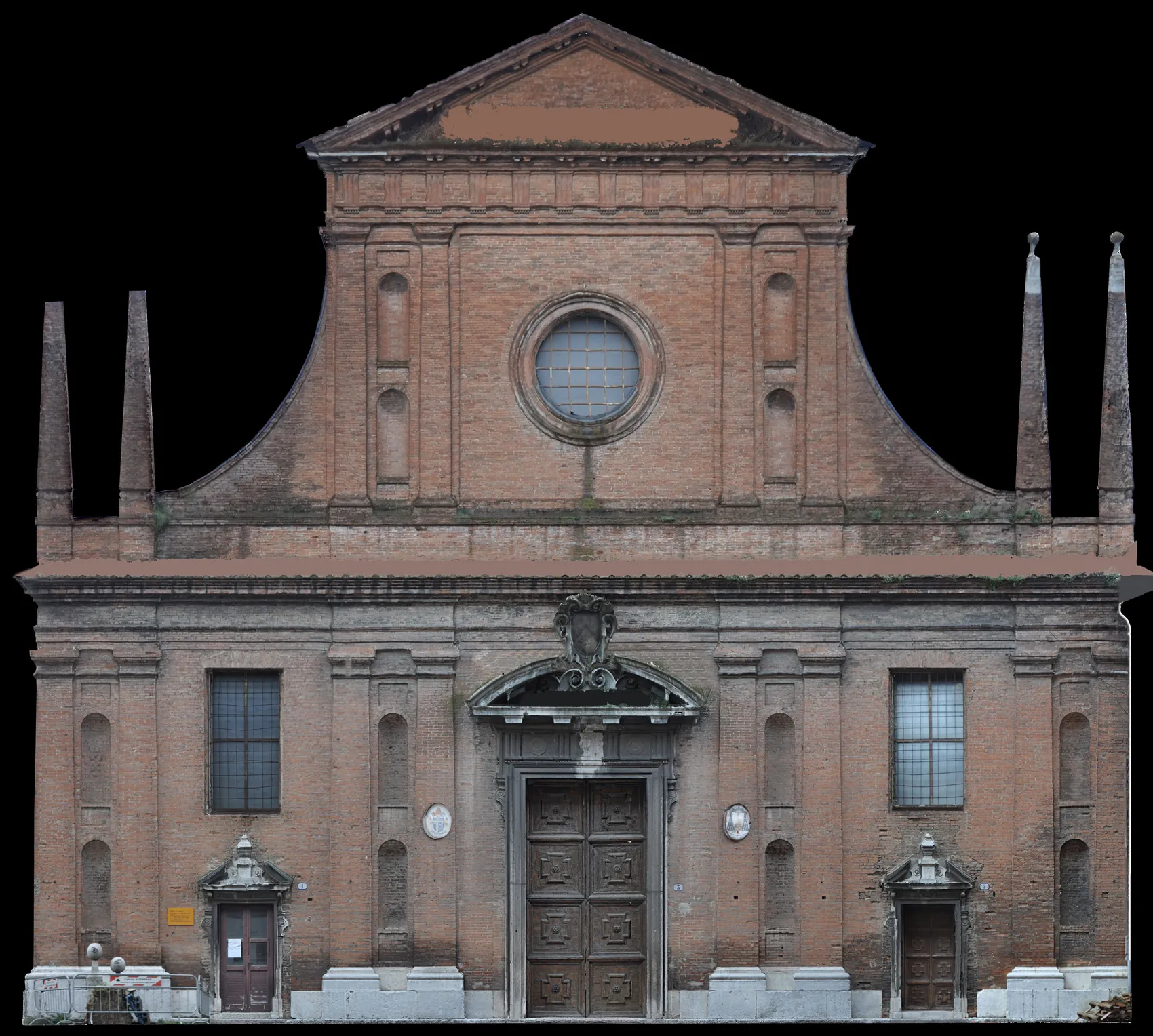
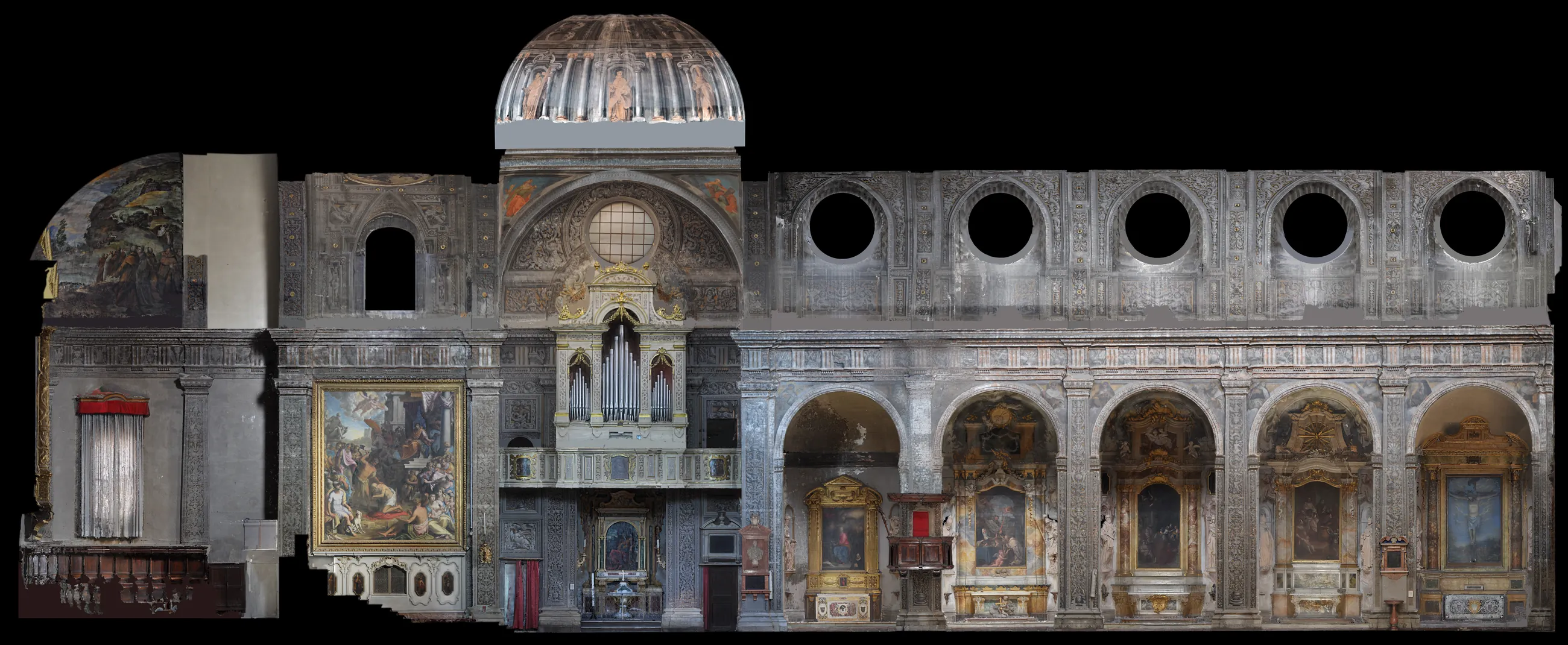
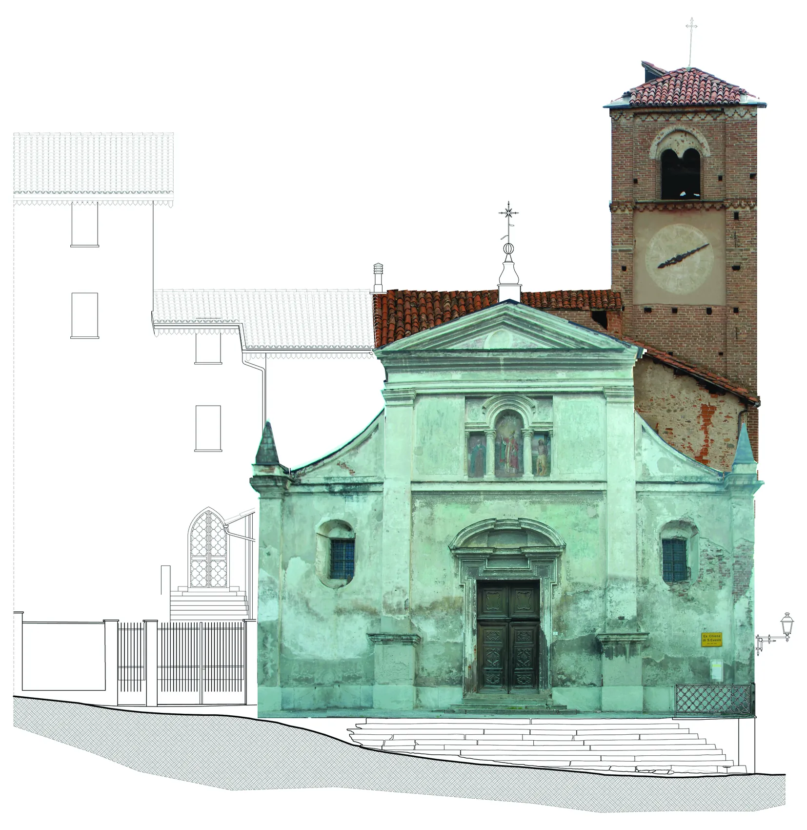
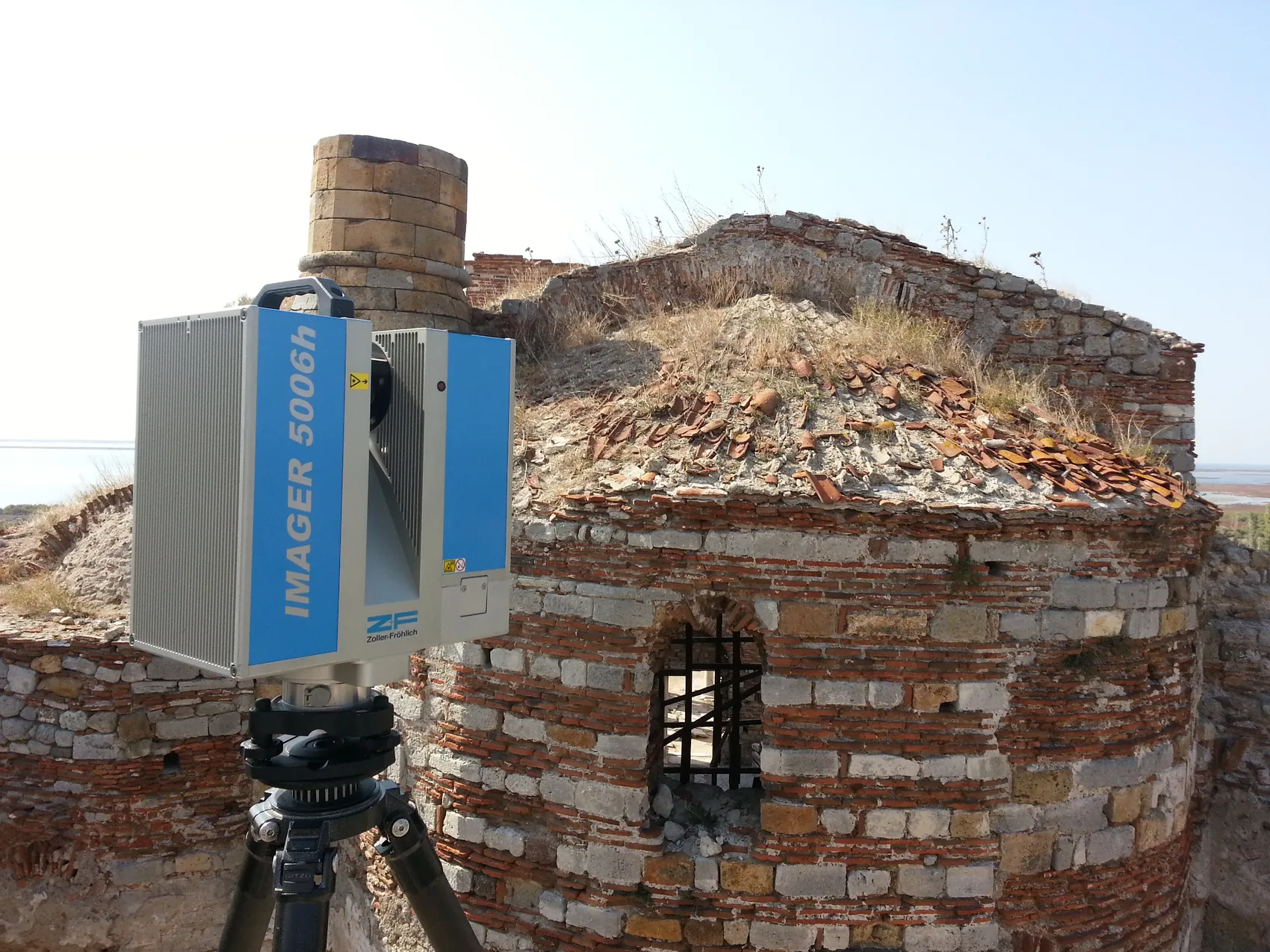
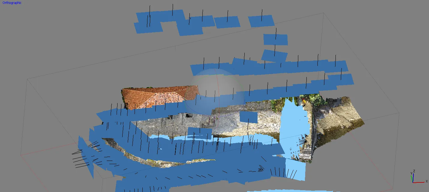
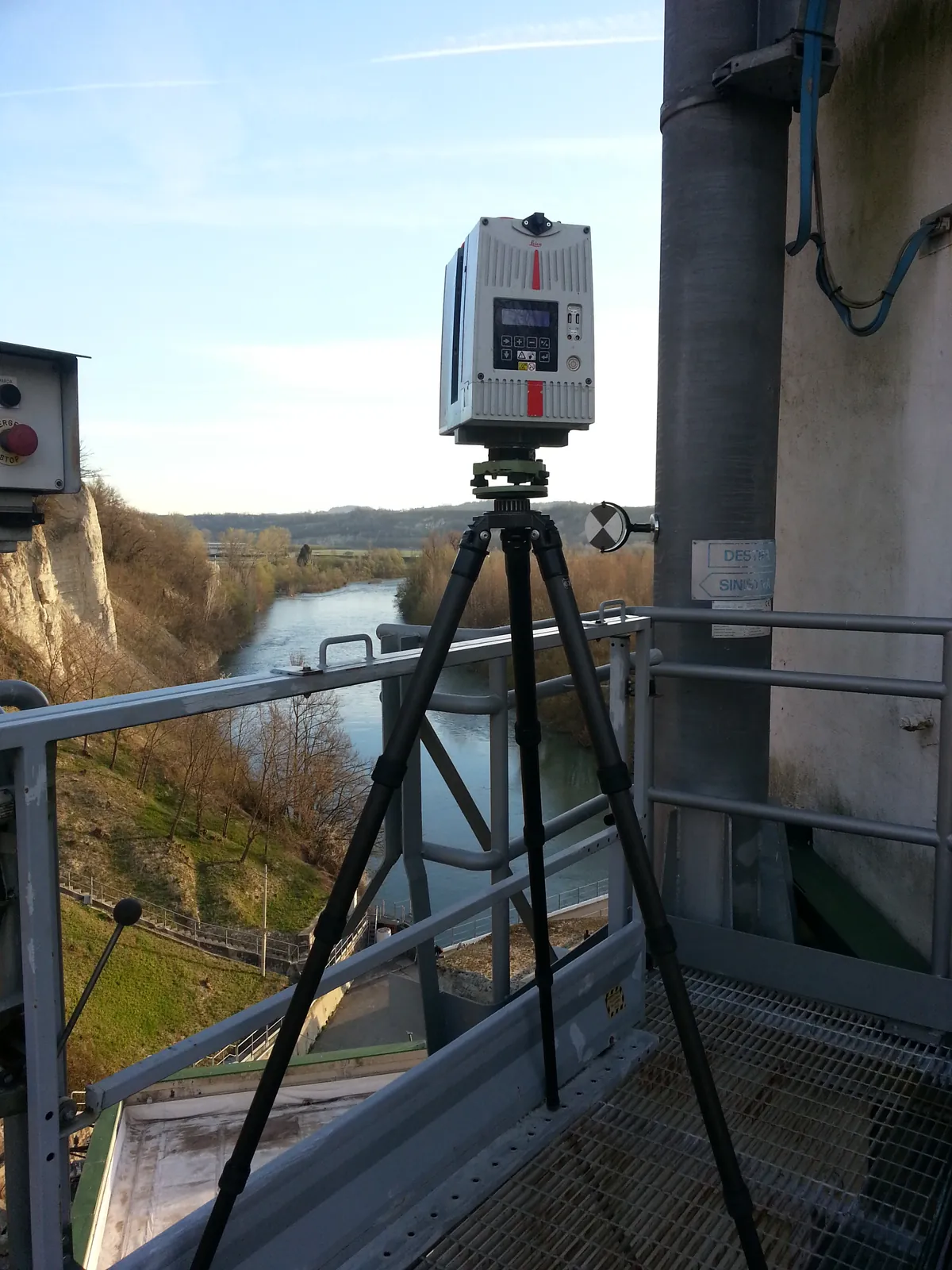
We examine historic and contemporary spaces with rigor: using 3D laser scanning we produce high-density point clouds and accurate 3D models as the foundation for interoperable BIM models with consistent information layers and levels of detail. From these datasets we deliver sections and plans, metric orthophotos, and detailed drawings ready for restoration and new design.
- Point clouds
- 3D models
- BIM
- Sections and plans
- Metric orthophotos
- Detailed drawings
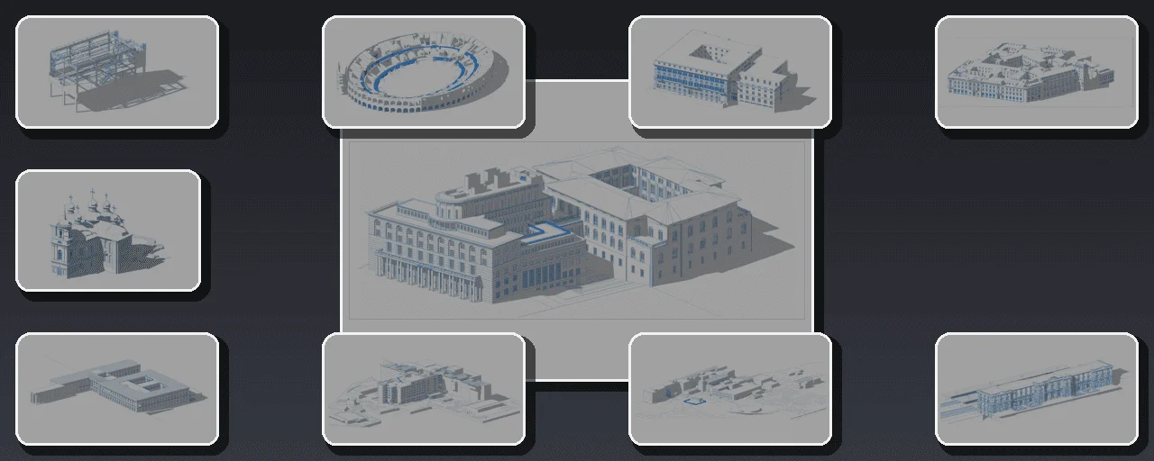
Mole Antonelliana
demonstration reconstruction
BIM models
03 — Land
TopographicSurveys
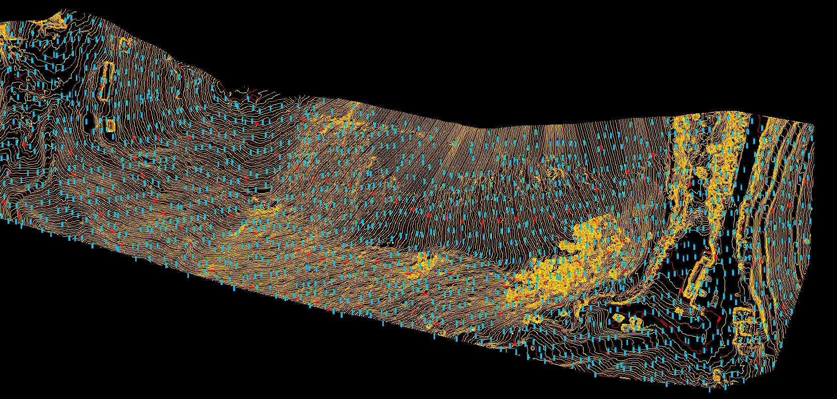
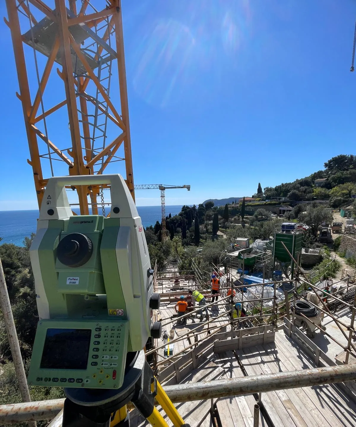
Using total stations, multi-frequency GNSS (RTK/PPK), drones, and mobile laser scanning (SLAM), we capture the terrain and the built environment seamlessly. Control networks and benchmarks ensure planimetric and altimetric accuracy; from these data we deliver DTM/DSM, contour maps, orthophotos, and profiles, as well as as-built checks and the georeferencing of historic buildings and infrastructure. Datasets are provided in open formats, ready for GIS and BIM integration.
- DTM/DSM
- Contour maps
- Orthophotos
- Profiles
- As-built
- Georeferencing
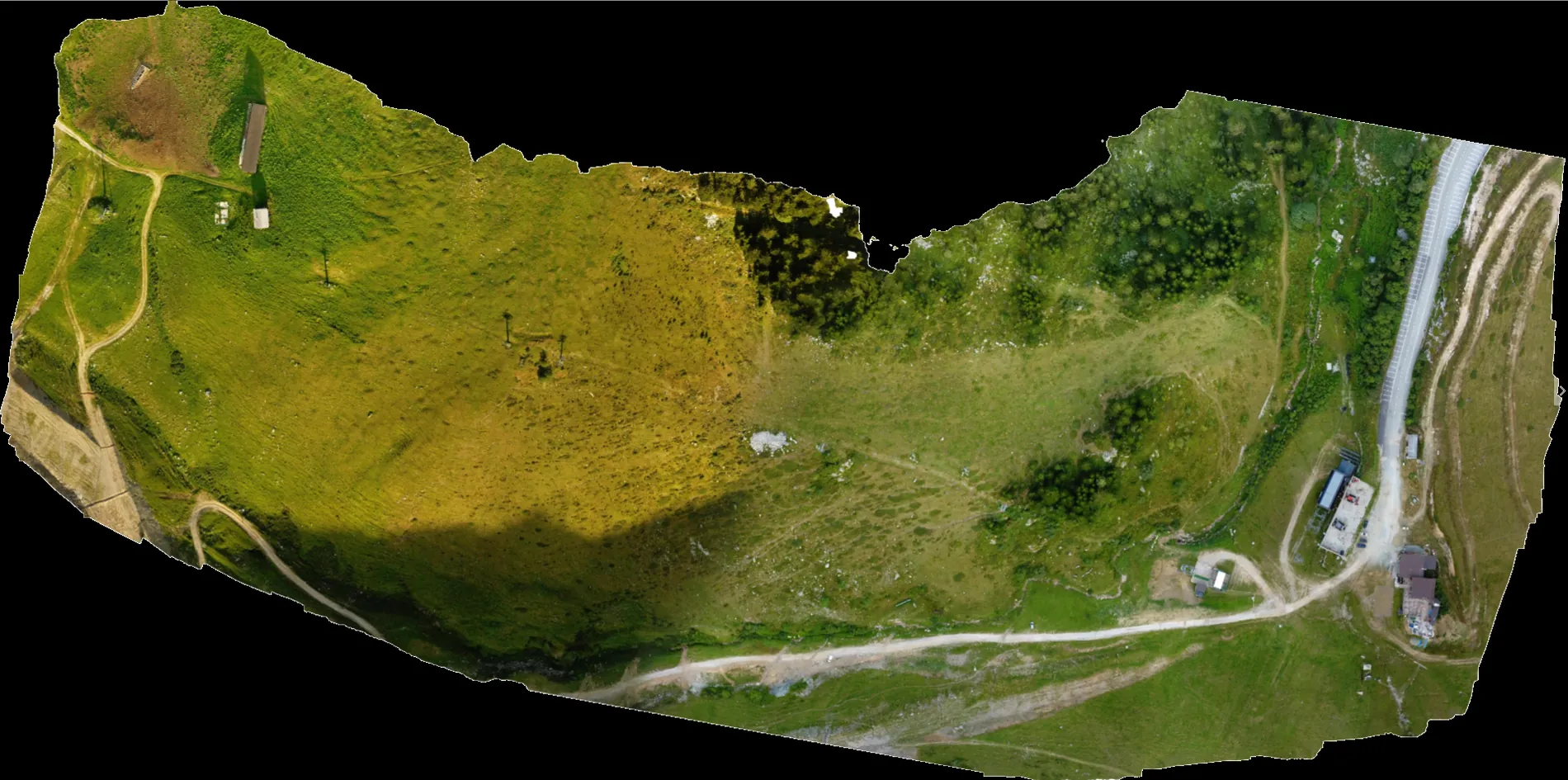
Demonstration point cloud
04 — Gallery
Projects
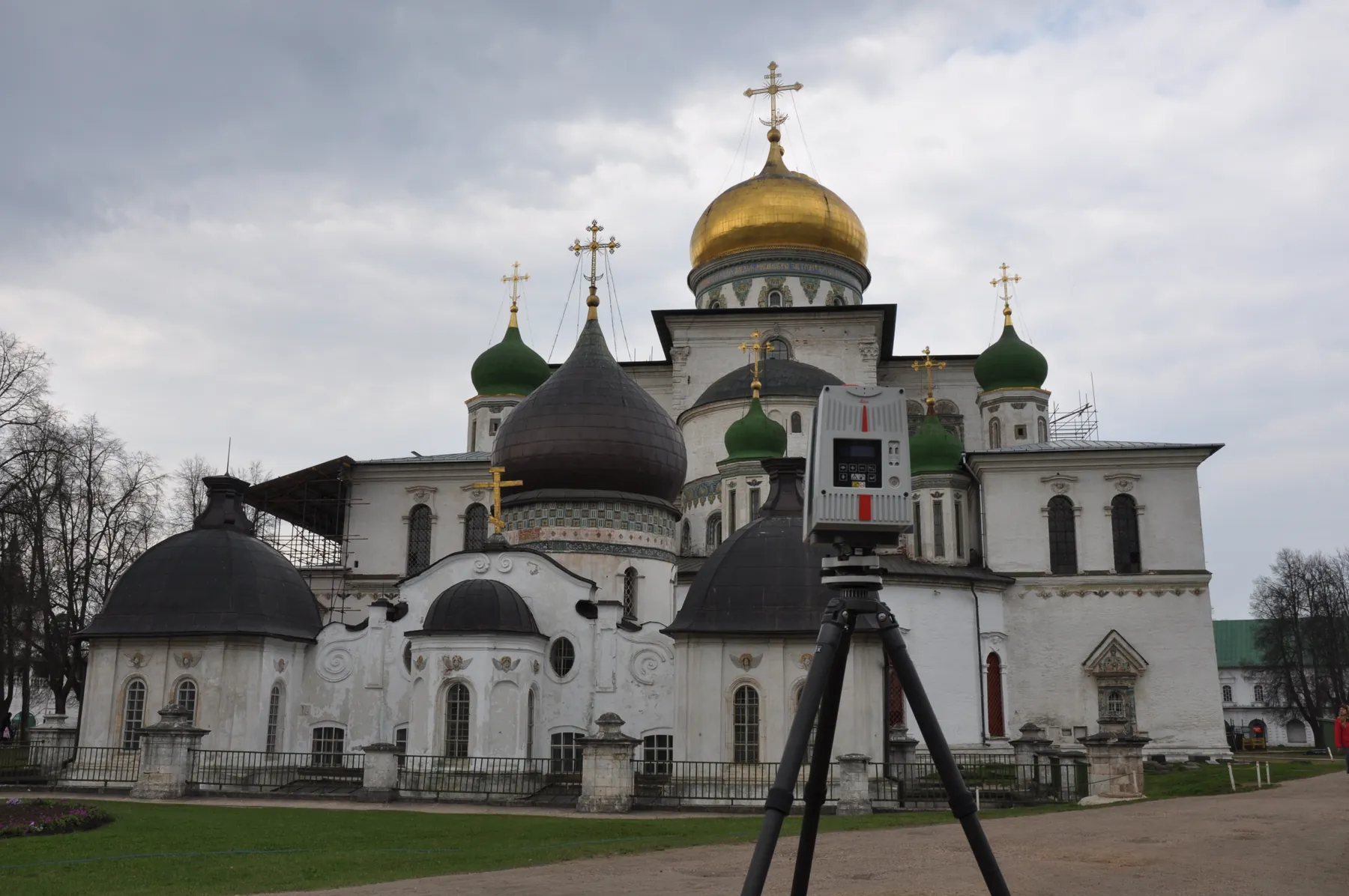
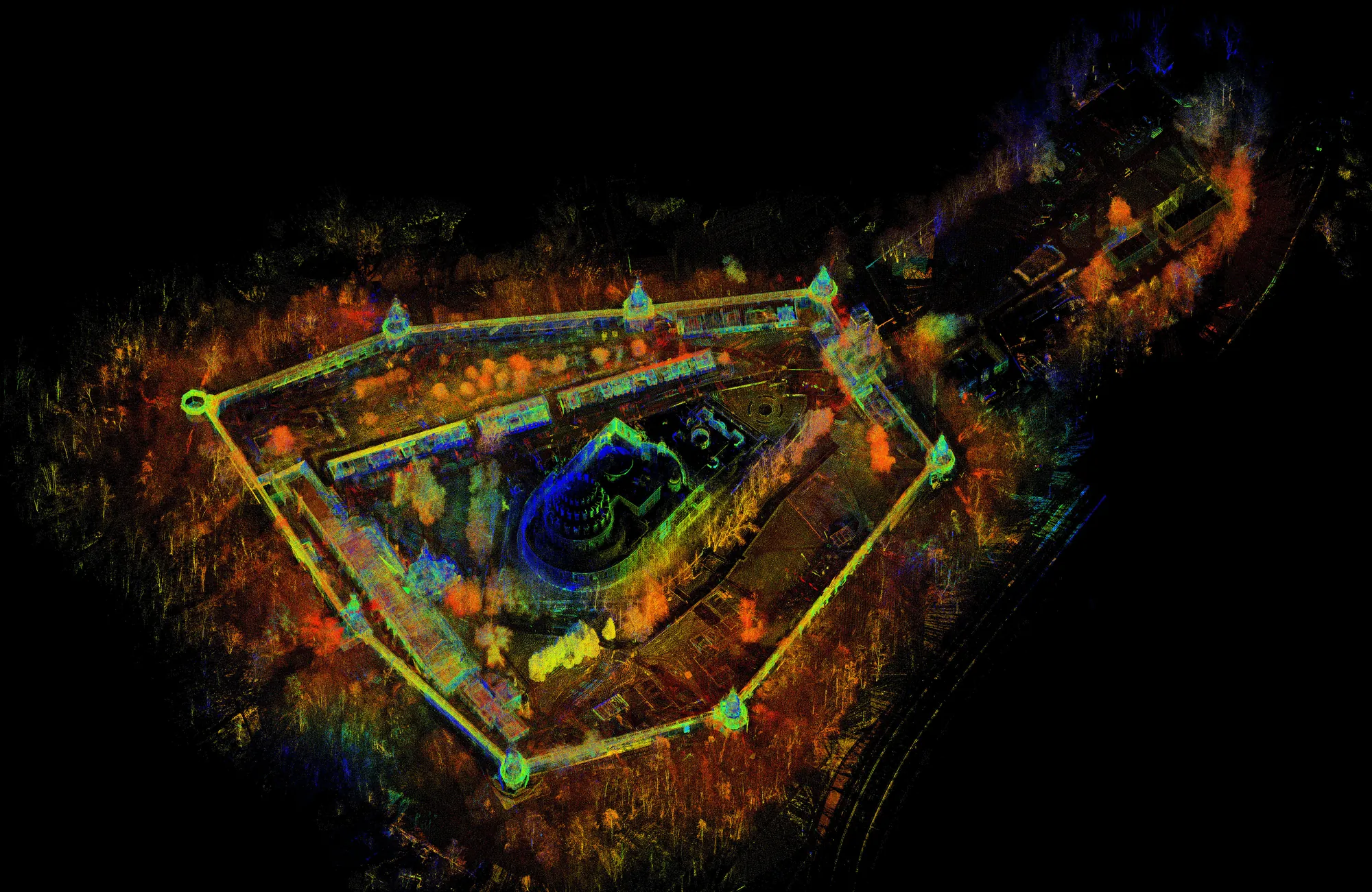
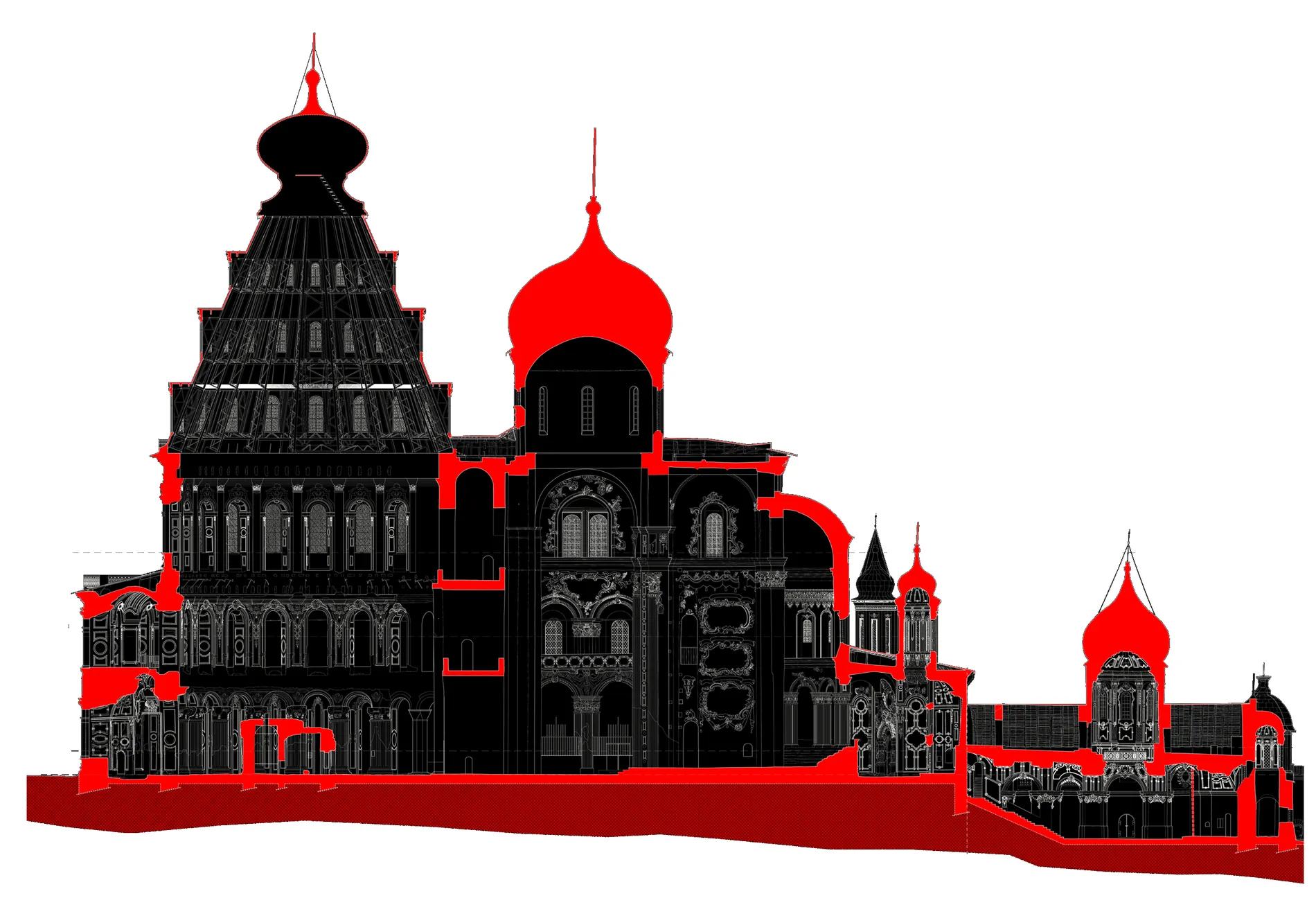
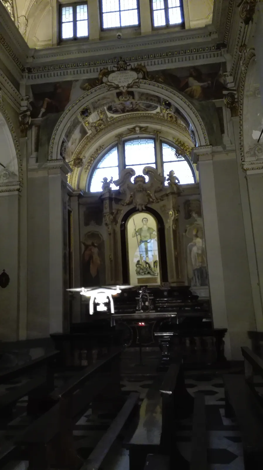
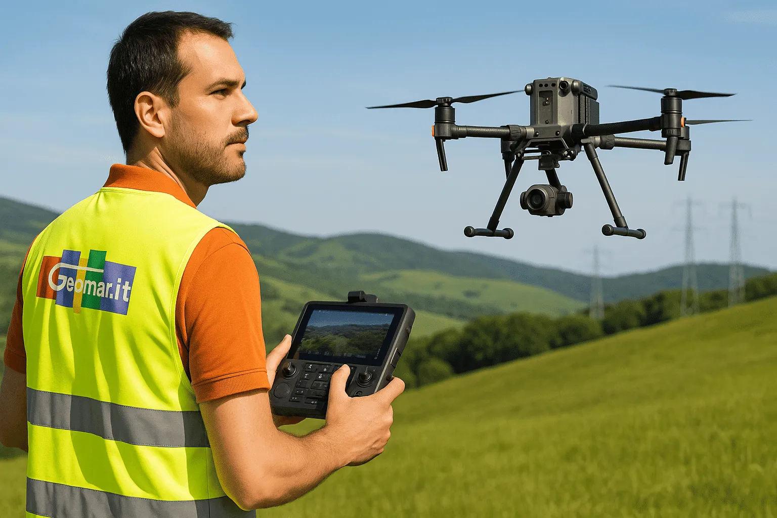
05 — Technologies
Since 2001, Geomar.it has combined professionalism, continuous training, and state-of-the-art technologies to deliver accurate surveys for architects, engineers, and contractors. Our mission is to turn complex data into clear, actionable information for your projects.